Firefighters have successfully halted the westward spread of the Brewer Fire, holding lines just north of Prineville as the blaze enters its thirteenth day. The lightning-caused fire is now estimated at 51,308 acres with five percent containment.
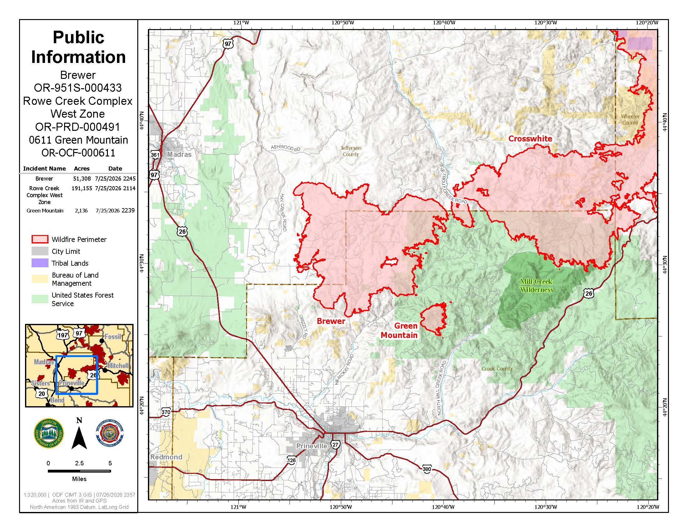 Brewer Fire Map from July 27, 2026.
The Brewer Fire is expected to soon merge with the nearby Green Mountain and Crosswhite West fires. Despite the lifting of a recent Red Flag Warning, crews on the ground are facing another day of hot, dry, and windy conditions.
Firefighters are currently patrolling and mopping up the south and southwest portions of the fire. Crews are focused on removing vegetation that could catch fire to strengthen existing control lines. Overnight, crews used drones equipped with cameras to confirm the fire stayed within its boundaries in the Lofton and McKay Creek areas.
To the northeast, firefighters successfully surrounded most of the fire that had crossed control lines along A-Y Road. They are now working to improve those lines and secure the area.
Last night's heat was so intense that aircraft were unable to fly over the fire to provide updated infrared mapping. However, suppression aircraft will remain in use today across the fire area as weather allows.
Regional Management and Safety: The Oregon State Fire Marshal (OSFM) Red Team and the Oregon Department of Forestry (ODF) are in unified command of the 1,375 personnel assigned to the fires.
Level 1, 2, and 3 evacuation notices remain in effect for portions of Crook and Jefferson counties. Residents can find the latest evacuation information on the Crook County Sheriff’s Office and Jefferson County Sheriff’s Office Facebook pages.
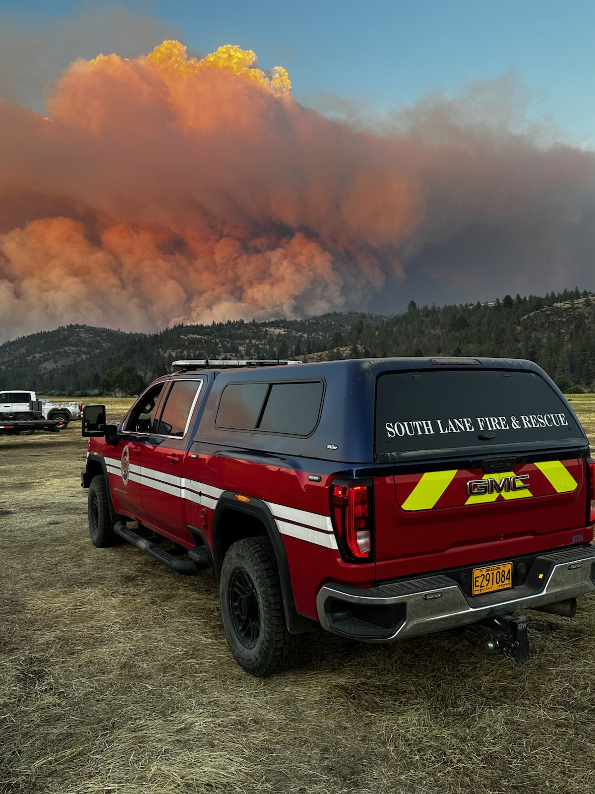
.jpg)
.jpg)
Smoke is expected to remain visible in Prineville and surrounding communities today, which may reduce visibility and impact air quality. Residents can check current conditions at airnow.gov.
For the most up-to-date information on road closures, travelers should visit www.tripcheck.com. A Temporary Flight Restriction is also in effect, and officials remind the public that unauthorized drone flights are illegal and will ground all firefighting aircraft.